Superior Equipment as the Foundation of Skill
At Statenville Ag Drones, we recognize that professional-grade expertise is only as effective as the instruments it employs. The Statenville region, characterized by its flat Coastal Plain topography and vital forestry and farming sectors, requires technology that balances extreme durability with microscopic precision. Our operation extends beyond simply flying drones; we manage a comprehensive, mission-ready technology stack that is refreshed every year to ensure our partners always utilize the pinnacle of aerial innovation. Our fleet is specifically configured to overcome the unique environmental hurdles of South Georgia—from the dense pine timber stands of Echols County to the sprawling rows of peanuts, tobacco, and cotton that drive our local economy.
A primary benefit of collaborating with us is the total elimination of capital depreciation. Unmanned technology moves at a breakneck pace, where hardware often becomes obsolete in less than two years. By partnering with our team, regional enterprises gain the advantage of multi-million dollar aerial assets without the burden of upfront costs, complex maintenance, or specialized pilot training. We guarantee that your mission—whether it involves a 10,000-acre multispectral timber survey or a high-stakes infrastructure audit—will be performed using the most secure, efficient, and reliable machinery available on the global market.
WingtraOne Gen II: The Master of Wide-Area Productivity
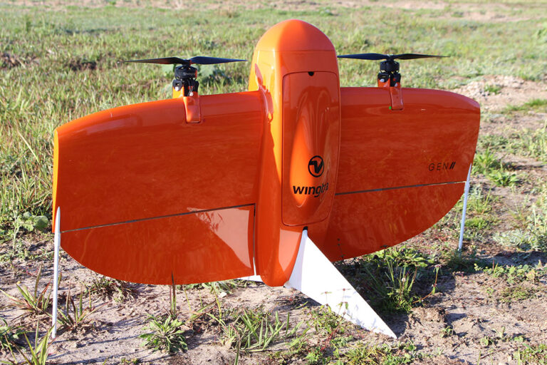
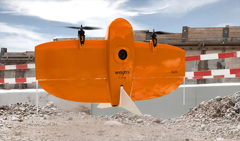
For high-stakes mapping and large-scale land surveys, the WingtraOne Gen II is our primary powerhouse. In a county as expansive as Echols, operational speed is the deciding factor in project timelines. The WingtraOne is a sophisticated hybrid platform featuring Vertical Take-Off and Landing (VTOL) technology. This enables us to launch from confined spaces, such as sandy field edges or narrow logging trails, without the need for a cleared runway, while still capturing data with the high-speed efficiency of a fixed-wing plane. A single Wingtra deployment can survey over 700 acres in one flight—outperforming traditional quadcopters by a factor of ten.
This level of productivity never compromises data integrity. The WingtraOne Gen II is outfitted with a high-end, integrated Post-Processed Kinematic (PPK) GNSS engine. By syncing this with our localized Emlid base stations, we achieve centimeter-level absolute accuracy without needing to spend hours placing manual ground control points (GCPs). For Statenville developers, timber managers, and civil engineers, this means survey-grade digital twins are delivered faster and more affordably than ever before.
XAG P150: Revolutionary Precision Application
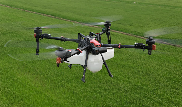
For environmental management and agricultural health, we utilize the XAG P150—the most sophisticated heavy-lift application drone in existence. In the sweltering, humid climate of the Coastal Plain, the window for effective fungicide or insecticide application is incredibly narrow. The P150 is built to withstand the heat and dust of South Georgia field conditions, featuring a massive 70L payload capacity and advanced centrifugal atomization sprayers. Unlike standard nozzles that are prone to clogging and uneven distribution, our atomization system produces a consistent, controlled droplet size that maximizes chemical coverage while drastically reducing off-target drift.
The defining technical advantage of the P150 is the atmospheric vortex generated by its high-torque rotors. As the aircraft glides just feet above the crop, this powerful downwash physically agitates the foliage, driving the spray deep into the lower canopy and onto the undersides of the leaves. For Echols County peanut and cotton growers, this 360-degree saturation is the key to eradicating white mold and controlling pests that thrive in thick vegetation. We transform days of hazardous ground-rig operation into a few hours of safe, autonomous aerial precision.
| UAS Feature | Benefit to Statenville Farmers |
|---|---|
| Variable Rate Application | Apply chemicals only where needed based on high-resolution map data, reducing input costs. |
| Zero Soil Compaction | Effective spraying immediately after heavy rains when ground rigs would cause permanent soil damage or get stuck. |
| Multispectral Imaging | Identifying "hidden" crop stress and nutrient deficiencies before they are visible to the naked eye. |
| Swarm Technology | Multiple drones working a single field in coordination to cover large regional acreage with maximum efficiency. |
Blue UAS: Uncompromising Data Sovereignty
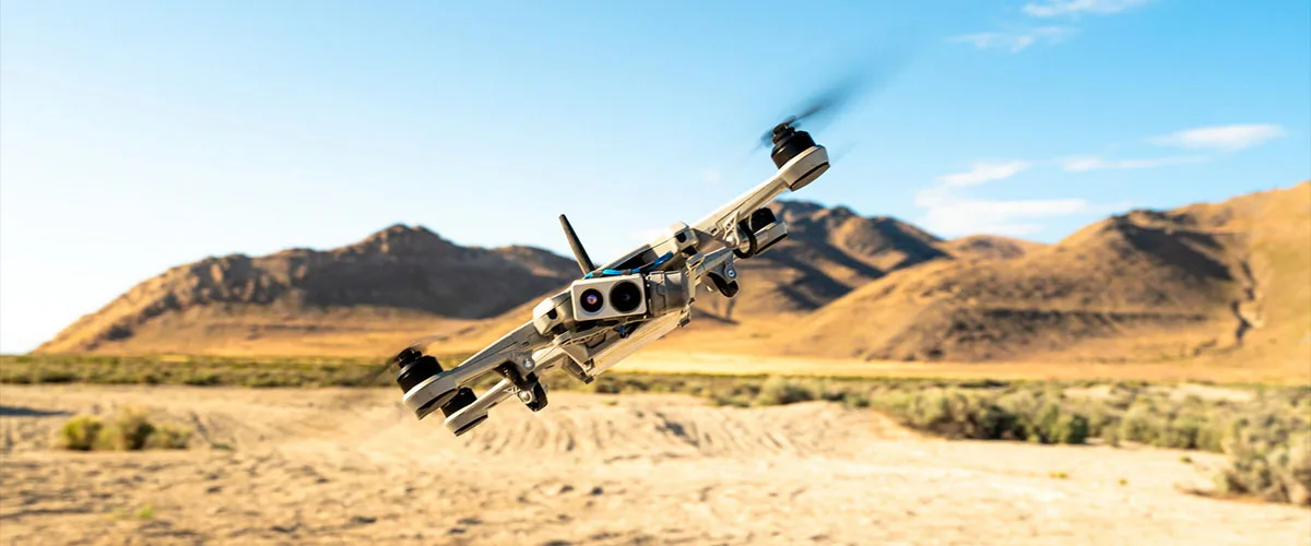
With cybersecurity threats and data privacy becoming paramount for critical infrastructure and government contracts, the origin of your drone technology is a vital consideration. Statenville Ag Drones is dedicated to the total security of regional data. Our surveying fleet is anchored by Blue UAS Certified platforms. This designation, strictly vetted by the U.S. Department of Defense, ensures our equipment adheres to the highest global standards for supply chain transparency, cybersecurity, and end-to-end data encryption. When we survey a municipal utility, a bridge, or a private industrial site in Statenville, you have the assurance that your sensitive geospatial intelligence is shielded from unauthorized access from takeoff to final delivery.
High-End Analytics: Turning Raw Data into Intelligence
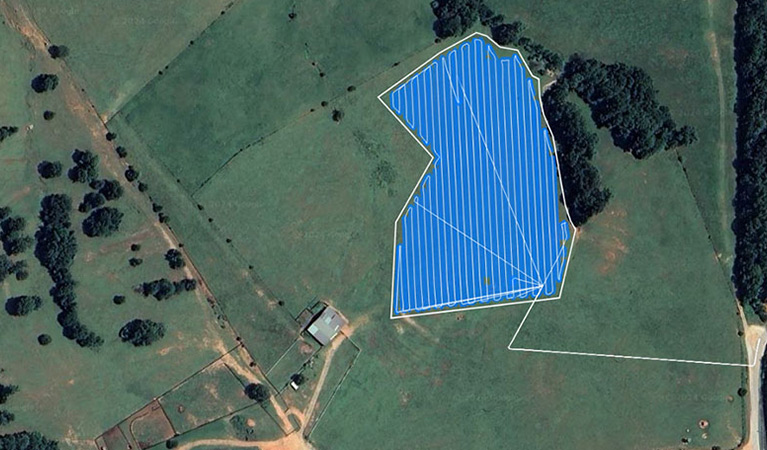
The value of our service extends long after the aircraft is back in its case. The final phase of our workflow is where raw data becomes a strategic asset. We employ the industry-leading PIX4D software suite, utilizing PIX4Dmatic for massive industrial photogrammetry projects and PIX4Dfields for rapid, in-season crop health diagnostics. These sophisticated tools allow our data scientists to convert terabytes of imagery into high-fidelity 3D point clouds, orthomosaics, and multispectral maps. We provide results in the GIS, CAD, and farm management formats your professional staff already utilizes, ensuring a frictionless integration of aerial insights into your daily business decisions.
Payload Technology
MAP61 / RGB61
Ultra-high-definition Sony full-frame sensors for crystal-clear mapping and high-fidelity 3D modeling.
Riegl miniVUX LiDAR
Penetrating the thick Coastal Plain timber canopy to map the true ground surface with millimeter-grade precision.
MicaSense RedEdge-P
Simultaneous capture of five multispectral bands plus panchromatic data for elite-level plant health analytics.
Localized Support
Our Statenville field office maintains a deep inventory of spare components and redundant flight systems. If a technical issue arises, a backup aircraft is always ready for immediate deployment.
Request Technical Brief